We may earn a commission when you book through links on this page, at no extra cost to you. Read our affiliate disclosure.
- Number of parks
- 9
- Oldest
- Tatra, 1949
- Largest
- Low Tatras, 728 km2
- Smallest
- Pieniny, 37.5 km2
Slovakia has nine national parks, and the best way to reach most of them is by rental car, with GetRentacar one option for comparing offers. The Tatra National Park, founded in 1949, is the oldest and the best known, home to the High Tatras.
Most parks are in the Carpathian mountains, and rules such as marked trails and seasonal closures apply. This page compares them and points to the guides for the main ones. For first hikes, see hiking for beginners.
Top picks at a glance
Key takeaways
- Slovakia has nine national parks, from Tatra (1949) to Slovak Karst and Veľká Fatra (2002).
- The Low Tatras are the largest, at 728 km2, per Wikipedia.
- Parks have marked trails, and seasonal closures can apply, so check before you hike.
- Four parks have dedicated guides on this site.
Best ways to explore Slovakia's national parks, ranked
-
Our top pick1
Rental car with GetRentacar
Best overallBest for: Hikers and road trippers
The parks are spread across the country and trailheads are often outside towns. GetRentacar is a car hire comparison site, so check the deposit, insurance cover and mileage before you book.
Rent on GetRentacar- Reach trailheads
- Combine two parks
- Rental cost
- Parking in peak season
-
2
Rental car on QEEQ
Comparison optionBest for: Price comparers
QEEQ is another broker. Compare offers for your dates and pickup location.
Compare cars on QEEQ- Wide choice
- Check supplier terms
-
3
Guided tours with Klook
Best for guided visitsBest for: Visitors who prefer a guide
Klook lists tours and day trips across Europe. Check what is available near the park you want, since availability varies.
See tours on Klook- Guide knows the trails
- No driving
- Fixed schedule
-
4
Hiking insurance with EKTA
Cover for mountain tripsBest for: Hikers
If you plan mountain hikes, sort out insurance before you travel. Compare which activities EKTA covers.
Get a quote from EKTA- Set up before you leave
- Check activity limits
-
5
Regional trains and buses (ZSSK)
CheapestBest for: Budget travellers
Public transport reaches the main park gateways such as Poprad and Žilina. Smaller parks need more planning.
Official website- Low fares
- Limited reach
The nine parks
| Park | Founded | Area |
|---|---|---|
| Tatra | 1949 | 703 km2 |
| Pieniny | 1967 | 37.5 km2 |
| Low Tatras | 1978 | 728 km2 |
| Malá Fatra | 1988 | 226.3 km2 |
| Slovak Paradise | 1988 | 197.63 km2 |
| Poloniny | 1997 | 298.05 km2 |
| Muránska planina | 1998 | 203.18 km2 |
| Slovak Karst | 2002 | 346.11 km2 |
| Veľká Fatra | 2002 | 403.71 km2 |
Figures from Wikipedia's list of national parks of Slovakia.
Which parks suit which trip
- Alpine scenery: Tatra, see High Tatras and best hikes.
- Ravines and ladders: Slovak Paradise.
- Rafting and gorges: Pieniny.
- Ridge walks and castles: Malá Fatra, near Strečno.
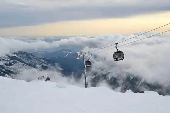
- Ski and hiking: Low Tatras, see Jasná.
- Caves: Slovak Karst, see caves in Slovakia.
Choose by activity rather than by name. A first-time visitor with a few days is best served by one or two parks done properly, not a rushed tour of all nine. Families should look at the shorter, well marked paths first, and experienced walkers can add ridge routes once the weather is settled.
Less visited parks
Poloniny in the far east, Muránska planina and Veľká Fatra in the centre have no dedicated guide here yet and are far less visited than the Tatras. Public transport is thinner and facilities are simpler, so plan routes, water and return transport before you start. The official park websites are the best source for trail status.
If you want quiet trails, pick a weekday and an early start. Bring a paper or offline map, since mobile signal can drop in valleys. Local guesthouses in the villages around these parks are usually the best source of current route advice, and they can often tell you which huts and forest roads are open. Check the official park websites for any entry rules or fees before you set off.
Rules and safety
National park rules generally mean staying on marked trails, with some areas closed at certain times of year to protect wildlife. Mountain weather changes fast, and the High Tatras have seasonal closures on higher trails, so check current conditions. Read hiking insurance before a mountain trip.
Bring sturdy shoes with grip, a rain layer, water, a charged phone with an offline map and some cash. Weather in the mountains changes quickly even in summer, and higher paths can hold snow into early summer. If you are new to mountain walking, start with a short loop and read hiking in Slovakia for beginners.
Best time to go
Summer and early autumn are the usual hiking season. Some trails and facilities close in winter or in spring thaw. See best time to visit Slovakia and Slovakia in summer.
A simple loop is Malá Fatra, Low Tatras, High Tatras and Slovak Paradise, which are all within a day's drive of each other. Spread them over at least a week, with a rest day in between. Slovakia road trip shows one way to link them, and 10 day itinerary adds towns and castles.
Getting to the park gateways
The main gateways are Poprad and Štrbské Pleso for the High Tatras, Žilina for Malá Fatra, Spišská Nová Ves for Slovak Paradise, and Liptovský Mikuláš for the Low Tatras. See Poprad airport to the High Tatras, Liptovský Mikuláš and Žilina for transport details. Parking at popular trailheads can fill early on summer weekends, so start early.
Frequently asked questions
How many national parks does Slovakia have?
Nine, according to Wikipedia: Tatra, Pieniny, Low Tatras, Malá Fatra, Slovak Paradise, Poloniny, Muránska planina, Slovak Karst and Veľká Fatra.
Which is the oldest national park in Slovakia?
Tatra National Park, founded in 1949.
Which park is the biggest?
The Low Tatras, at 728 km2, slightly larger than Tatra at 703 km2, per Wikipedia.
Which park is best for a first visit?
Most visitors start with the High Tatras or Slovak Paradise because of transport and trail infrastructure.
Do I need a permit to hike?
Rules vary by park and area. Check the official park website for closures and any fees.
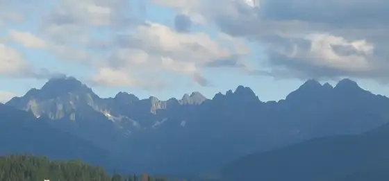
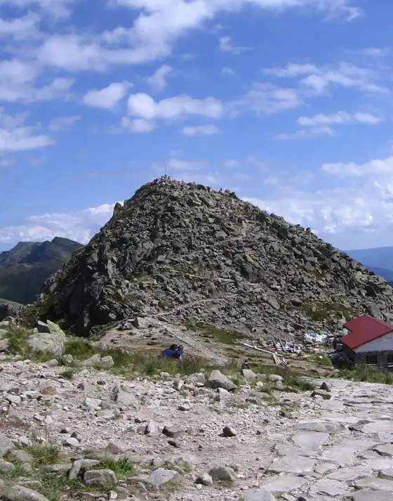
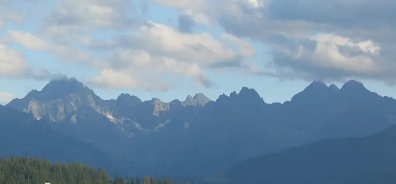
Photo: High Tatras · Unknown · CC BY-SA 3.0