Hiking time calculator
This calculator estimates how long a hike takes from its distance, ascent and descent, using both Naismith's rule and the DIN 33466 style method, and tells you the latest time to start before sunset.
Use it to plan a Tatra day hike, and compare the result with the times on trail signs.
Naismith's rule
Naismith's rule was devised by the Scottish mountaineer William Naismith in 1892. The metric version used here allows 1 hour for every 5 km walked, plus 1 extra hour for every 600 m of ascent. Descent adds nothing in this basic form.
Example: 10 km with 600 m of ascent gives 10 / 5 + 600 / 600 = 2 + 1 = 3 hours of walking, before breaks.
The DIN 33466 style method
Many European trail signs use a different calculation. It assumes 4 km/h horizontally, 300 m of ascent per hour and 500 m of descent per hour. It works out a horizontal time and a vertical time (ascent time plus descent time), then takes the larger and adds half of the smaller.
Example: 10 km with 600 m up and 0 m down gives a horizontal time of 2.5 hours and a vertical time of 2 hours, so the total is 2.5 + 1 = 3.5 hours. The method accounts for descent, so it usually gives longer times on steep routes.
Fitness, pack weight and breaks
Both formulas describe a fit walker with a light pack. Here, a slow pace multiplies the walking time by 1.25 and a fast pace by 0.85. Packs over 10 kg add 5 percent, over 15 kg add 10 percent, and over 20 kg add 15 percent. These are rough adjustments of our own, not part of either formula.
Breaks are added after the multipliers, as the minutes you enter.
Latest start time
The latest start is the sunset time minus the longer of the two estimates minus a 30 minute safety buffer. Enter the real sunset for your date and place. Our sunrise and sunset tool gives it for Slovak towns.
In the mountains it can get dark under trees or cloud earlier than sunset, so treat the result as the latest, not the ideal, start. Starting earlier also leaves room for afternoon storms. For route ideas see best hikes in the High Tatras, easy hikes and the Rysy hike.
Limits
These are estimates. Snow, wet rock, chains, heat, altitude, a slow group member or lots of photo stops can add hours. Posted trail times in Slovakia are often the best check, since they are made for the specific route.
Reading the two results
If the two results are close, the route is fairly gentle and you can plan with either. If the DIN style time is clearly longer, the route has a lot of steep climbing or descent, and you should plan with the longer figure. Naismith is a classic rule of thumb that is quick to do in your head. The DIN style method is a bit more detailed because it counts descent as well.
Remember that the numbers describe moving time. Lunch, photos, waiting for a cable car and a long rest at a mountain hut are all extra, which is what the breaks field is for. For a day hike of around five hours, 45 to 60 minutes of breaks is a realistic starting point.
Finally, check the official trail times posted at the trailhead, and note when the last cable car or the last train back leaves. That deadline can matter more than sunset. If you will turn back at a fixed time, decide it before you set off.
Questions
Which method is more accurate?
Neither is exact. Naismith ignores descent, so on steep descents the DIN style result is usually closer. Compare both and plan with the longer.
Do I enter total or one-way distance?
Enter the full distance you will walk, including the return if you come back the same way. Do the same for ascent and descent.
Are breaks included?
Yes. The minutes you enter are added to both results.
How is the latest start time worked out?
Sunset minus the longer estimate minus a 30 minute buffer.
Can I use this for winter hikes?
Only as a rough starting point. Snow and ice slow you down a lot, and short daylight makes timing critical.
Related guides
 High Tatras
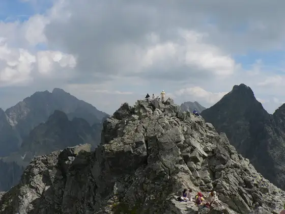
Best Hikes in the High Tatras
The best hikes in the High Tatras, from easy lake walks to high-mountain routes. Seasons, trail closures, safety, gear and how to get to the trailheads.High TatrasRysy hike from Štrbské Pleso
Rysy hike from Štrbské Pleso: route, chains, difficulty, season (mid June to October), how long it takes, what to carry and safety advice.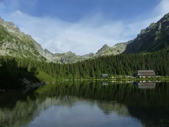 Blog
BlogEasy Hikes in the High Tatras
Easy High Tatras hikes: Štrbské Pleso loop, Popradské pleso, Hrebienok waterfalls, Skalnaté pleso. Closures 1 Nov to 15 Jun, rescue 18 300. Essentials
Hiking insurance for the High Tatras
Hiking in the High Tatras? Slovak mountain rescue (HZS) charges for rescues unless you are insured. See what cover to buy and what to check first. Blog
BlogHiking in Slovakia for beginners
First time hiking in Slovakia? Learn which areas suit beginners, what to pack, trail rules, safety basics and insurance before you go. High Tatras