Slovakia distance calculator
This calculator gives the straight-line distance between two places in Slovakia or nearby, such as Bratislava to Košice, plus a rough road distance estimate. Pick from 36 cities, airports, towns and sights in Slovakia, Austria, Hungary, Czechia and Poland.
The first figure is a straight line, not a driving distance. The road figure is an estimate and real routes vary.
What the numbers mean
The main figure is the great-circle distance between the coordinates of the two places, calculated with the haversine formula on a sphere with a radius of 6,371 km. It is the shortest path over the Earth's surface, as a bird would fly. Bratislava to Košice comes out at roughly 313 km this way.
The road figure is an estimate. It multiplies the straight line by 1.25 to 1.35, a common allowance for how winding roads and motorway routing add to the distance, and rounds to the nearest 5 km. In mountains or where rivers and borders force detours, a real route can fall outside this range.
Straight line versus road, rail and time
Use the straight line to compare places quickly: how far is the Tatras from Bratislava, or how close is Vienna Airport? For planning, switch to a route guide. Distance is not travel time. A direct train or a motorway can beat a shorter road through hills and villages, and the mountain roads in the north are slower than the numbers suggest.
The calculator links to a Taply route guide when we have one for the pair, for example Bratislava to Košice or Bratislava to the High Tatras. Those pages cover trains, buses, transfers and driving.
Where the places are measured from
Each place uses one point, usually the city centre, the airport terminal area or the main tourist base. Štrbské Pleso, Tatranská Lomnica and Poprad are separate points because they are far enough apart in the High Tatras to matter. Airports are listed on their own, so Vienna to Vienna Airport shows the real gap between the city and the terminal.
Tips for using the result
- Add a buffer on mountain roads and in winter, when snow and traffic slow journeys.
- For the airport legs, plan around check-in and train times, not just distance.
- Check a map or navigation app for the exact road distance and current road works before you drive.
- If you drive in Slovakia, read our vignette guide before using motorways.
For train options between big cities, see trains in Slovakia.
Some distances to calibrate
To get a feel for scale, Bratislava to Vienna is about 55 km in a straight line, Bratislava to Budapest about 160 km, Bratislava to Prague about 290 km and Bratislava to Košice about 313 km. Slovakia is long and narrow, so crossing it from west to east is the longest domestic trip. The High Tatras sit roughly in the north centre, about 240 to 260 km from Bratislava as the crow flies.
These numbers explain why many visitors plan a base in Bratislava or Vienna for the west and a second base such as Poprad or Košice for the east, rather than a single day trip across the country. If you want to cover both ends, split the journey with a night in between, or use the train, which is often the most relaxed way to cross Slovakia.
Limits
Coordinates are rounded to a point near each place centre and may differ by a kilometre or two from where you actually start. The road estimate is not a routing result. Use it to get a feel for distances, then check a map for the actual route.
Questions
How far is Bratislava from Košice in a straight line?
About 313 km. By road it is longer, and this tool estimates roughly 390 to 420 km.
Is the road distance exact?
No. It is an estimate based on the straight line multiplied by 1.25 to 1.35. Use a map or navigation app for the exact distance.
How is the straight-line distance calculated?
With the haversine formula, which gives the great-circle distance between two coordinates on a sphere.
Does the tool show travel time?
No. Travel time depends on mode, traffic and weather. See the linked route guides for realistic journey options.
Which places can I choose?
Slovak cities, towns, airports and sights, plus nearby hubs such as Vienna, Budapest, Prague and Kraków.
Related guides
 Getting there
Bratislava to the High Tatras
Bratislava to the High Tatras is about 330 km and 3.5 to 4.5 hours. Compare private transfers, trains, buses and rental cars, ranked for 2026.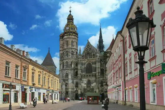 Getting there
Bratislava to Košice
Bratislava to Košice is Slovakia's longest domestic trip. Compare InterCity train, RegioJet, coach, private transfer and flights, with practical tips.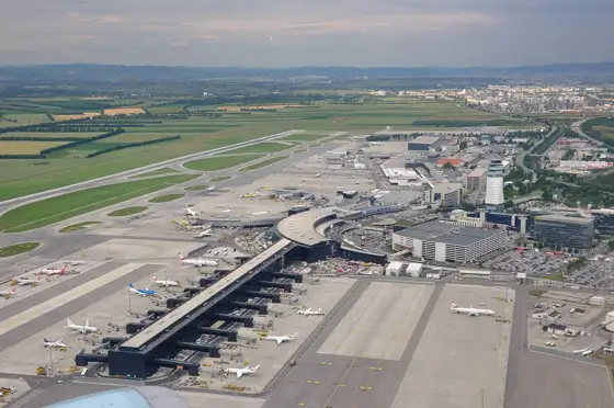 Getting there
Vienna Airport to Bratislava
Vienna Airport to Bratislava is about 60 km and 1 hour. Compare private transfer, bus, train and shared rides, ranked by comfort, price and ease.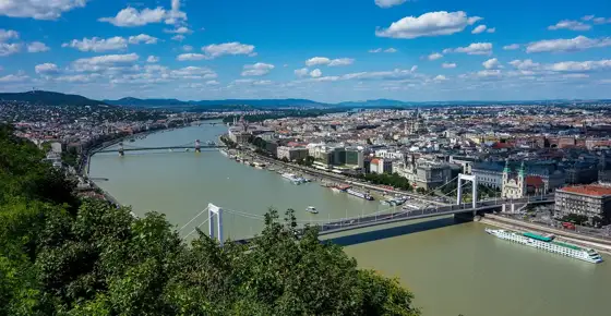 Getting there
Budapest to Bratislava
Budapest to Bratislava is about 200 km and 2.5 hours. Compare private transfers, trains and buses, ranked by price, comfort and convenience.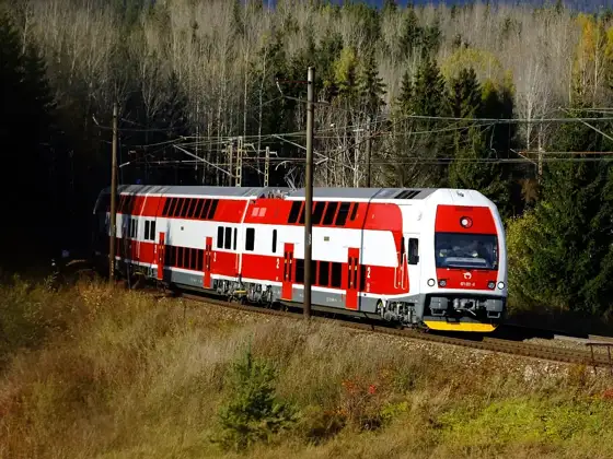 Blog
BlogTrains in Slovakia
How trains work in Slovakia: who runs them, which routes matter for visitors, the High Tatras narrow-gauge line, and practical tips for riding. Getting there