Slovakia Weather Comparer: Bratislava, Košice and the High Tatras
This tool puts the long-term average high, low and precipitation for Bratislava, Košice, Poprad and Štrbské Pleso side by side for the month you pick, and adds a short line on what to pack.
The figures are climate averages (1991 to 2020 normals), not a forecast. Any single day can differ a lot.
What the numbers are
The table shows the average daily high, the average daily low and the average total precipitation for the month, in millimetres. Bratislava is the capital in the south-west, Košice is the main city in the east, Poprad is the town at the foot of the High Tatras, and Štrbské Pleso is a lakeside resort at about 1,350 m. The figures come from the climate tables on our Slovakia, Bratislava and High Tatras weather pages, which cite Wikipedia climate tables for 1991 to 2020 normals. Bratislava (airport station) and Košice list WMO and SHMÚ as source; Poprad and Štrbské Pleso list NOAA.
How to use the comparison
Look at the high for daytime comfort and the low for evenings and early starts. The gap between Bratislava and Poprad is the simplest way to see how much cooler the mountain side of the country is. Štrbské Pleso is higher up, so it is colder again, and it also receives much more precipitation than the valley. In summer that means afternoon storms are a real possibility on mountain days.
Precipitation figures
The precipitation value is the monthly total of rain and melted snow, not the number of wet days. A month with a high total can still have many dry days, and a low total can hide one wet week. For cities, treat it as a hint about whether to bring a rain jacket. For the mountains, remember that the climate tables for the summit stations are far wetter again; our High Tatras page shows Lomnický štít if you plan to go that high.
What to pack
The packing line is general advice for the month, based on the temperature pattern in the table. Layers work best because Slovakia has four distinct seasons and mountains are colder than the cities. In the High Tatras, trails above the mountain huts are closed from 1 November to 15 June, so check conditions before any mountain walk. The Slovakia packing list has the full list.
Limits
Averages smooth out extremes. A heatwave, an early snowfall or a cold snap can all push a day far from the number shown. Check a current forecast before you travel, and a dedicated mountain forecast before any hike. The tool covers four stations, so smaller valleys and towns will differ.
Reading the city and mountain gap
The four places tell a simple story. Bratislava is the warmest of the group in every month, and in summer it has less precipitation than the mountain stations. Košice is a little cooler by day and has a more continental pattern, with cold winters and wetter early summers. Poprad sits in a high valley, so winters are colder and the summer highs are lower than in the cities. Štrbské Pleso adds altitude, with cooler days and far more precipitation, especially from May to August. If you plan one trip that touches both a city and the Tatras, pack for the colder place and add a light layer for the other. Spring and autumn deserve extra care: the gap between a Bratislava afternoon and a Tatra morning can be ten degrees or more, so a fleece and a rain jacket earn their space in the bag.
If you are deciding when to go, the best-time finder turns these conditions into activity ratings.
Questions
Are these numbers a forecast?
No. They are long-term averages, 1991 to 2020 normals. Check a current forecast before you travel.
Which month is warmest in Bratislava?
July, with an average high of 28.0 °C and low of 16.2 °C, closely followed by August.
How much colder is the High Tatras than Bratislava?
Use the comparer: for example, Poprad runs several degrees cooler by day than Bratislava in most months, and Štrbské Pleso is cooler again.
Where does the data come from?
From the climate tables on our weather pages, which cite Wikipedia climate tables with WMO, SHMÚ and NOAA as sources.
Does the tool include mountain summits?
It shows the valley town and the lake resort. The High Tatras weather page also lists Lomnický štít at 2,634 m.
Related guides
 Blog
BlogSlovakia Weather by Month
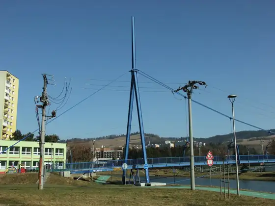
Slovakia weather by month with long-term average highs, lows and rainfall for Bratislava, Poprad and Košice, plus what to expect and pack each month.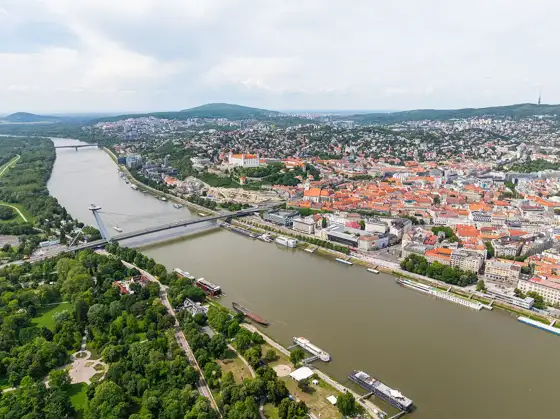 Blog
BlogBratislava Weather by Month
Bratislava weather by month with long-term average highs, lows and rainfall, plus what to wear and do in each season. Based on published climate tables.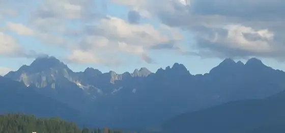 Blog
BlogHigh Tatras Weather by Month
High Tatras weather by month: long-term average highs, lows and rain for Poprad, Štrbské Pleso and Lomnický štít, and what it means for hiking.BlogWhat to pack for Slovakia
A practical Slovakia packing list for city breaks, hiking and winter trips: clothes by season, plug type, documents, footwear and what to leave at home.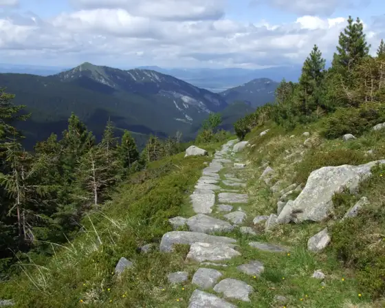 Around Slovakia
Best Time to Visit Slovakia
The best time to visit Slovakia depends on what you want: hiking, skiing, city breaks or castles. Seasons, weather, crowds and costs explained. Around Slovakia