Bratislava walking route planner
This planner puts the Bratislava sights you tick into the shortest walking order, estimates the distance and time on foot, and gives you a Google Maps walking link for the whole route.
Distance is a straight-line figure multiplied by 1.3, so treat it as an estimate. Choose a start point, decide whether to return to it, and adjust the sights to fit your time.
How the route is chosen
Each sight has a latitude and longitude. The tool measures the straight-line distance between every pair with the haversine formula, then looks for the visiting order with the smallest total distance, starting from the point you picked.
Up to 10 stops are solved exactly by trying every useful combination with dynamic programming, so the order is the genuine shortest one by straight-line distance. With more than 10 stops it builds a route by always going to the nearest unvisited sight and then removes crossings with a 2-opt pass. That result is very close to the best one but not proven optimal.
Distance and time estimates
Walking distance is the straight-line total multiplied by 1.3. Old Town streets are fairly direct, but the castle hill, the underpass near the UFO bridge and the river embankment add small detours, so 1.3 is a sensible allowance and nothing more. Walking time uses 4.5 km/h, a relaxed pace that already allows for crossings.
The suggested time at each stop is a rough guide: about an hour for the castle interior and grounds, 40 minutes for the UFO deck, 30 minutes on the Main Square, and 5 to 15 minutes for photo stops such as Michael's Gate or the Čumil statue. Museums and galleries can take longer if you go inside.
Sights worth a closer look
The core Old Town cluster is compact: St Martin's Cathedral, Bratislava Castle, Michael's Gate, the Main Square and Primate's Palace are all within about 15 minutes of each other. The Blue Church sits on the east side of the centre and the UFO tower at the end of the Most SNP bridge.
Slavín is uphill north of the centre, so budget extra effort, and Kamzík is several kilometres away and best reached by bus or taxi. If you only have one day, the Bratislava in one day guide shows a tested order with food stops.
Limits and tips
The route is plain geometry. It does not know about opening hours, one-way pedestrian rules, hills or ticket queues, and the Google Maps link will pick its own path between stops, which can differ from the straight lines used for sorting.
Google Maps accepts about nine intermediate stops per link, so very long routes are split into parts that you open one after another. For the best light start at the castle in the morning and finish by the river at Eurovea. Wear comfortable shoes, because the Old Town is cobbled.
Building a good walking day
Group sights by area rather than by fame. The castle, cathedral and Kapitulská street share the hill. The Main Square, Čumil, Primate's Palace and Michael's Gate share the pedestrian core. Eurovea, the Slovak National Gallery and the Blue Church lie along the eastern side. Choosing one or two clusters usually beats ticking everything, because every extra stop costs both walking and queueing time.
Allow time for coffee and weather. In summer the embankment is pleasant in the evening, and in winter the castle terrace is windy. On a wet day the rainy day guide lists indoor stops to swap in, and the viewpoints guide helps you choose between the castle, the UFO deck and Slavín for the view.
For a first visit with limited time, tick the castle, cathedral, Main Square, Michael's Gate and the Blue Church, start at the main station, and do not return to it. That gives a sensible one-direction walk that ends near the river with plenty of cafes around.
Questions
Is the walking distance exact?
No. It is the straight-line distance multiplied by 1.3 and is labelled as an estimate. The Google Maps link shows the real walking distance.
How many sights can I select?
All 17 can be ticked. Up to 10 stops are ordered with an exact method and more than 10 use a nearest-neighbour route improved with 2-opt.
Why is Kamzík marked as far?
The TV tower is a few kilometres from the Old Town and uphill, so most visitors take a bus or taxi. The tool still places it in the order but the walking figure is only a rough guess.
Can I start at the airport?
No, the start points are the main station, Hviezdoslav Square, Eurovea and the castle. Use the airport guide to reach one of them first.
How long does the classic Old Town route take?
The default selection of seven sights is about 3.5 km straight line, roughly 4.6 km estimated on foot, and with time at each stop it fills most of a day.
Related guides
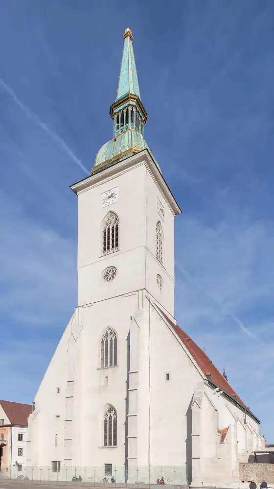 Bratislava
Bratislava in One Day
See Bratislava in one day: a simple walking itinerary covering the Old Town, castle and riverside, plus tickets, bag storage and food tips.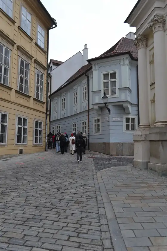 Bratislava
Bratislava Old Town Walking Tour
Bratislava Old Town walking tour guide: best guided and audio tours, a self-guided route past the main sights, and how long to allow.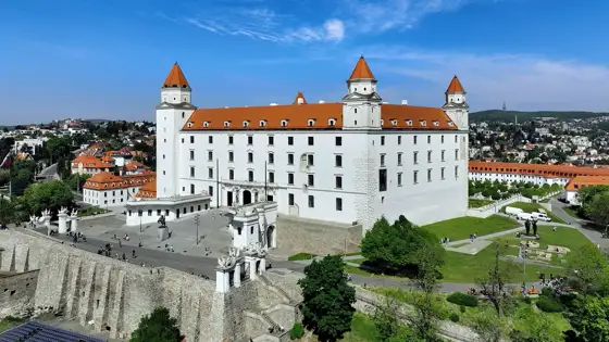 Bratislava
Bratislava Castle
Visit Bratislava Castle: how to get there, what to see, tickets and tours, and how to combine it with the Old Town in half a day or less.BratislavaSt Martin's Cathedral in Bratislava
St Martin's Cathedral in Bratislava: coronation church of Hungarian kings from 1563 to 1830, what to see, the crypt, spire and how to visit.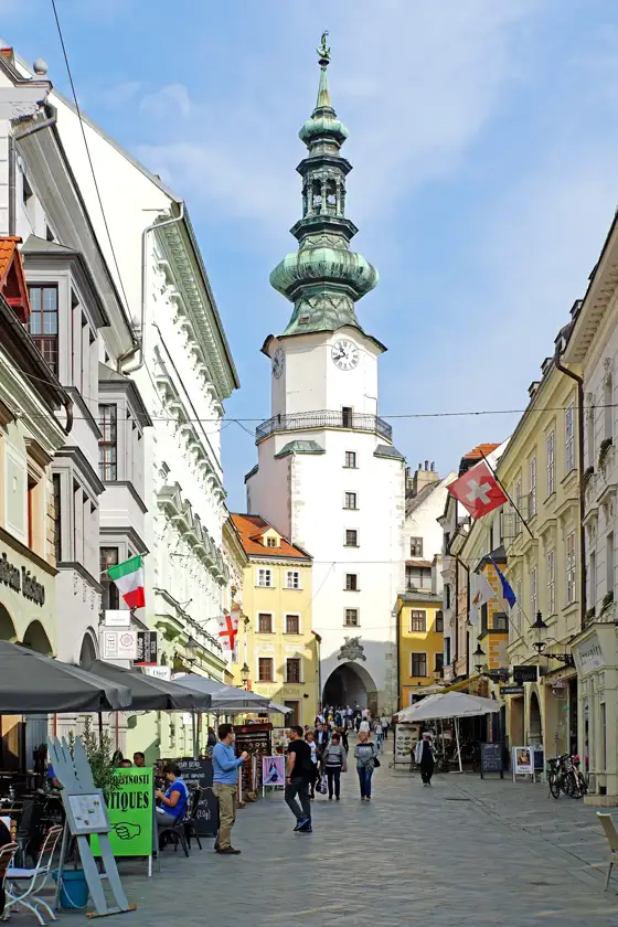 Bratislava
Michael's Gate in Bratislava
Michael's Gate in Bratislava: the only surviving medieval city gate, the tower views, the weapons exhibition and how to visit it on an Old Town walk.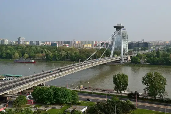 Bratislava